
Observe the prehistoric forces that shaped Oregon’s cliffs, sea stacks and headlands.
Everyone loves a sandy beach, but for sheer visual drama, nothing beats the majesty of rugged, rocky cliffs disappearing into frothy surf. You don’t have to look far to find beautiful rock formations on the Oregon Coast. How they got there is a very, very old story. Here’s what to know about the geologic history of some of today’s most iconic coastal views.
Massive Sea Stacks and Rocks Along the Coast
Many of the Oregon Coast’s soaring cliffs and most spectacular sea stacks — those giant rocks in the Pacific close to shore — are made of basalt. This charcoal-gray igneous rock, which is formed by cooled lava, covers much of the state. That’s because a series of volcanic eruptions in what is now Northeastern Oregon between 15 and 16 million years ago sent huge quantities of lava flooding over the landscape, where it accumulated in immense quantities — in some places, up to 2 miles deep. Geologists call this rock formation the Columbia River Basalt Group.
At that time, the Pacific coastline was approximately where the west edge of the Willamette Valley is today. But the ocean didn’t stop that lava flood’s progress. When it reached the prehistoric shore, the molten basalt continued to flow into the Pacific, creating huge oceanic lava flows and tunnels beneath the mud and silt. Eventually, tectonic forces uplifted the state’s western edge, creating the Coast Range and moving the coastline about 50 miles west. That uplift brought those ancient underwater basalt flows above sea level, where they were exposed to erosion from the wind, waves and rain. Basalt is very hard, so as other sedimentary rocks around it eroded away, it remained.
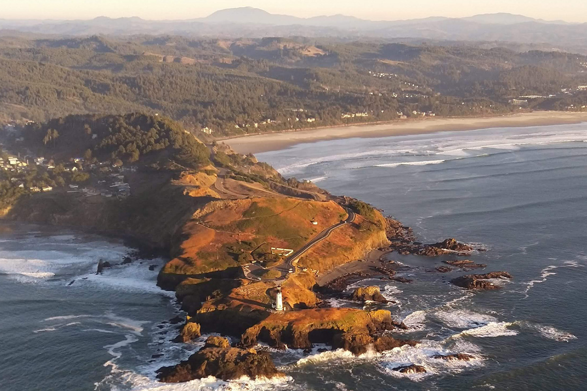
Two exceptional examples of basalt headlands on the Oregon Coast are Yaquina Head just north of Newport and Cape Lookout near Tillamook. Geologists believe that both were formed when molten basalt flowed into prehistoric estuaries, creating long underwater protrusions of rock. Once they emerged above sea level, the soft sediment around those protrusions eroded completely, leaving the dramatic headlands we see today.
Farther south, Bandon is famous for dozens of different rock formations, many of which have evocative names like Face Rock, Elephant Rock and Table Rock. Bandon’s rocks aren’t Columbia River basalt — the lava flows didn’t reach that far south on the coast — but instead a mixture of much older rocks dating as far back as the Cretaceous period, between 66 and 145 million years ago. The way they were formed, however, is the same: Softer stone around them eroded away, leaving sculptural forms that have inspired visitors and residents for thousands of years.
Oregon’s Fossil Heaven: The Sedimentary Cliffs
Not all cliffs or rock formations on Oregon’s coast are made of basalt. Visitors will also see many different sedimentary-rock formations, often identifiable by a layered appearance, that predate Columbia River basalt by millions of years. The Astoria Formation, for instance, is a vast bulk of rocks like sandstone and mudstone along the North Coast that formed between 15 and 20 million years ago. You can still see it peeking through the basalt that flowed on top of it at sites like Hug Point north of Arch Cape. Around Newport is the Nye Mudstone Formation — another group of sedimentary rocks formed about 20 million years ago — and south of that is the Coledo Formation, which is up to 30 million years old.
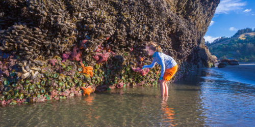
Beachcombers, rockhounds and fossil hunters know these sedimentary formations as rich sources of treasures, from agates and jasper to fossils of ancient clam shells, scallops and even shark teeth. Beverly Beach, just north of Newport, is a great place to hunt for fossils and agates, as is Fossil Point north of Charleston on the shores of Coos Bay.
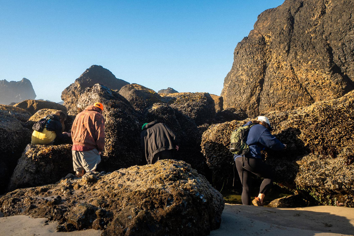
Staying Safe As You Witness Geologic Time
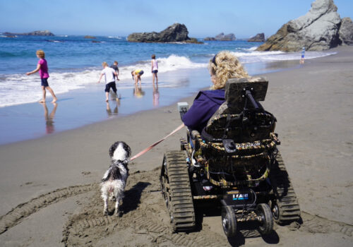
Getting a closer look at the ancient rock formations on the Oregon Coast is a big part of what makes a visit special. It’s also an activity that requires you stay aware of your surroundings and never turn your back on the ocean. Rough seas and sneaker waves are always potential dangers on the Coast, but they are especially dangerous on high-cliff beaches where visitors have limited ability to get away from unexpected high water. Visit beaches like these at low tide, and be aware of ocean conditions before heading out. You can find tide tables online.
At low tide, you can walk close to sea stacks like Haystack Rock in Cannon Beach. Enjoy the tide pools and rock formations, but remember it’s illegal to climb the rocks, a rule set to protect the homes of many sea creatures and birds. Stay on the sand and always keep an eye on the tide to avoid getting stranded. Look for volunteers in red jackets with the Haystack Rock Awareness Program from March through October to answer any questions you have about geology or marine life.
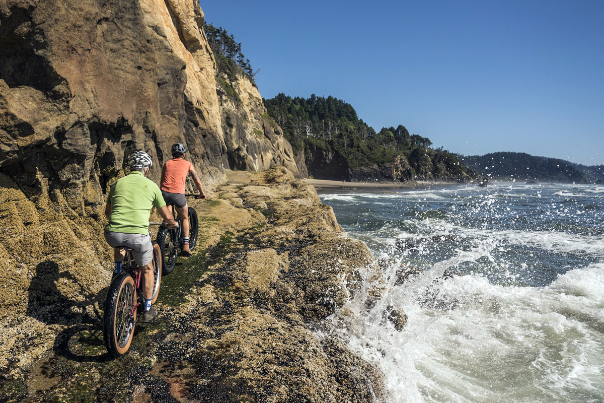
If conditions look too stormy, head for a high viewpoint with your camera, because there’s no better backdrop for big-wave photography than the Oregon Coast’s stunning rocky shore.
– By Margarett Waterbury
Top photo: Bandon by Manuela Durson